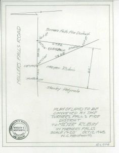
Samuel & Myer Rubin - Lot Survey - Wills Hill - Millers Plan - TFFD Montague 1494-1 - Map Reprint
$20.00
Click to view a large version of this plan
Year - 10/28/1927
Original Size -
Comments -
Scale - 200
Kind - Tr
Town - Montague
Locality -
Street - State Hwy to Millers Falls
Street 2 -
Note that if you order a print on one of the sheet sizes other than the original size, the image will be scaled to fit the sheet and may not fill the entire sheet.


